It’s not often that Sarah and I are without a plan (or 2 or 3), but that was the case after a momentous week with her family at the lake in Minnesota. We’d been too busy playing and visiting to do much research the previous week, and now we found ourselves tired and homeless once again. We had some possible targets in mind but were unsure of route conditions as snow seemed to linger in the mountains. With time starting to slip away, however, we felt the need to get somewhere quickly and found ourselves pulling into Rapid City, South Dakota to try out Mt. Rushmore’s granite slabs.

We had been to Mount Rushmore together in 2012 and enjoyed the monuments but not the crowds. This year, despite Covid-19, we found that Rapid City is still absolutely nuts. Plus, we were here on a Saturday in mid-July! The grocery store was way crowded with people but full of empty shelves. It felt like the frenzied shopping experience many of us remember from March. Our time downtown was about the same: too many people and too few masks. We both felt like it was time to get back to the quiet outdoors as quickly as possible, but we weren’t sure that was even an option in this area.
Getting a campsite wasn’t any better. We wouldn’t expect to find a weekend spot during a normal year, and camping is actually more crowded in many places this year. There is a free parking lot that allows car camping near the climbing; we thought this would be our best bet, but it was super crowded and only had 1 pit toilet and picnic table for everyone. After searching various campgrounds, we lucked into a spot about 15 miles down the road; it was one where you park on the side of the road instead of in a driveway, so I think most people assume it’s only for picnics. That, or maybe people just got turned off by the world’s worst camp host, Carl. Not only is he the grumpiest park service employee I’ve met, but he lied about cleaning the bathrooms. How can I be sure? Well, there were 3 signatures on the posted cleaning sheet, but there were also 3 patches of dog (I hope) crap on the floor for that same period—36 hours. Screw you, Carl…you and Rapid City can have each other!

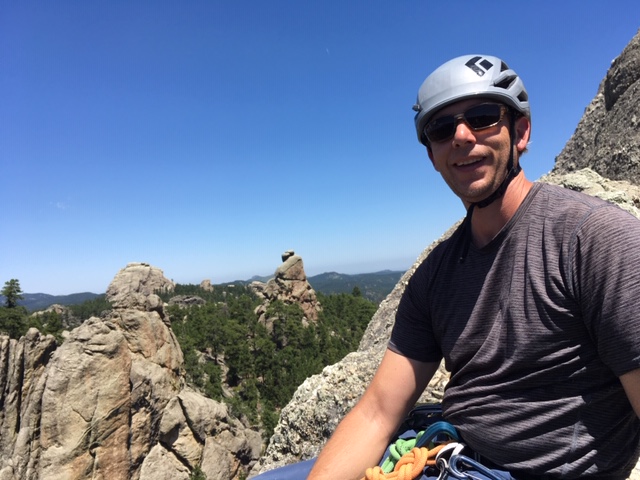
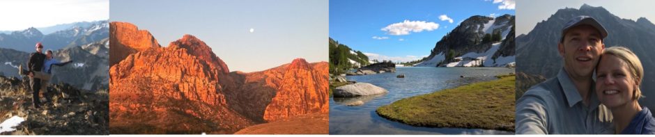
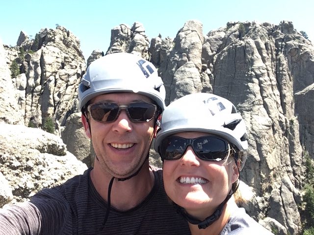
Strangely, the climbing at Mt. Rushmore is the only uncrowded activity in the whole area! Its sport climbing has a decent reputation, although it probably isn’t a top destination for most climbers. The granite there is a little different than in the North Cascades and City of Rocks; it is grainier and features schist (crystal knobs) holds that are essential to the climbing. They felt pretty solid but didn’t inspire trust right away. We’d heard that Mt. Rushmore’s bolts weren’t run out like the climbing in the Needles, but they still felt pretty darn far apart! Most hard moves had bolts in the right spots, but I wouldn’t argue with anyone who wanted to name any of the routes we climbed Shredded Cheddar.
Because of these factors, we kept our grade low for the day. We climbed a 5.8 called Star Dancer that locals consider a classic; both of us enjoyed it but thought the word classic was a stretch. Some of the old-timers on Mountain Project said it’s harder now because key holds have broken. The best climb was a 5.7 mixed line called Weird Water. It was long (2 rope rappel) with great balancy climbing. It weaved back and forth up a cool schist face overlooking the highway. Like many of the climbs here, you actually summit. It was a nice vantage point for waving down at people who had stopped along the road. So weird to be a mile away from tourist hordes and only hear one other group of climbers the entire day!
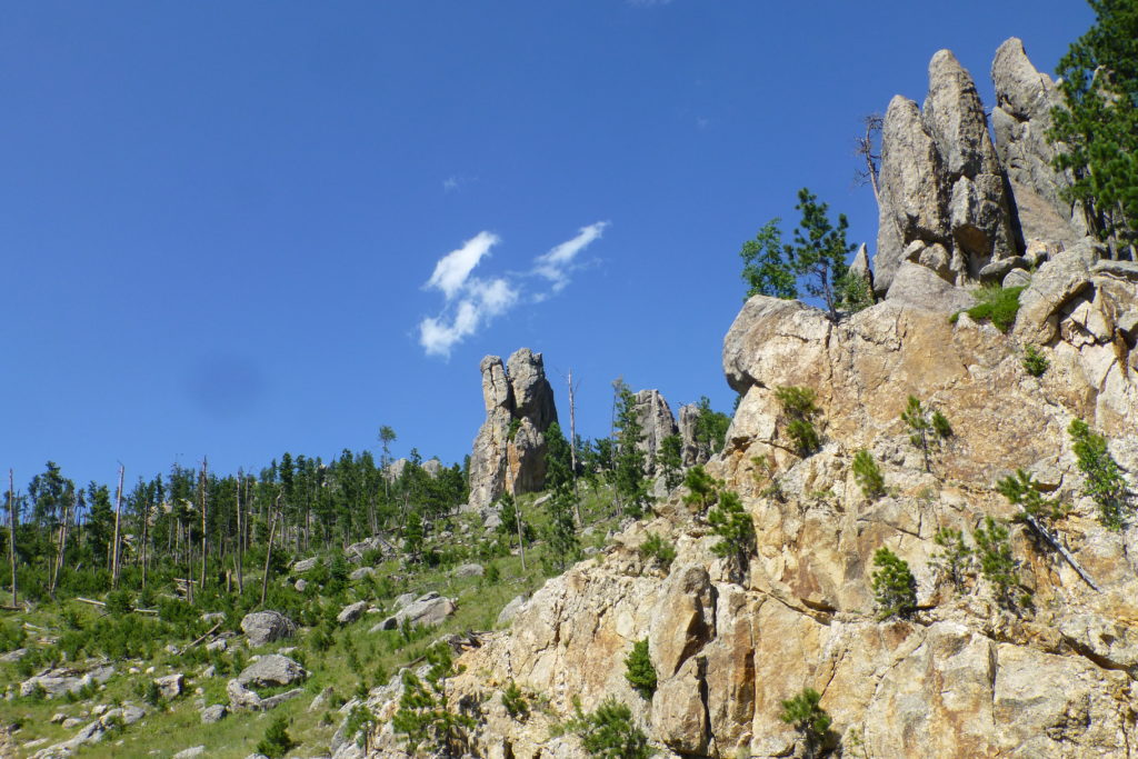
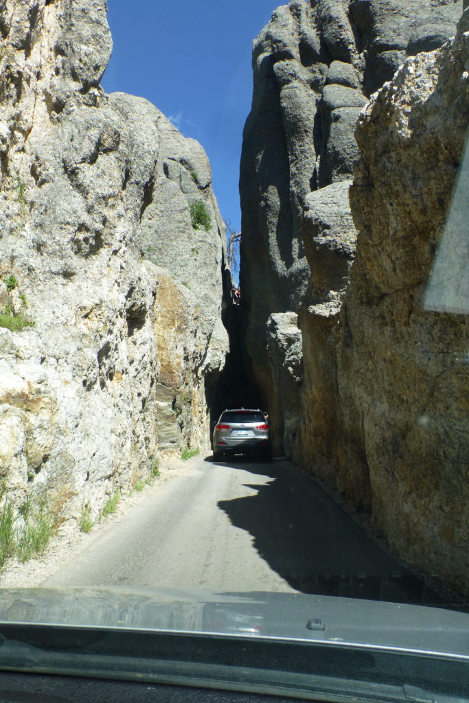
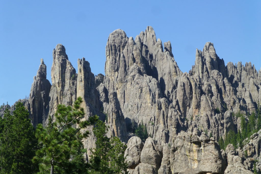
It was nearly 100 degrees by 1:00 PM, so we decided to call it quits and check out the Needles Highway instead. This ended up being our favorite part of the Rushmore area this time. The drive was full of gorgeous scenery with endless hills covered in granite needles and dark green vegetation. We were really high up, and the road was narrow, curvy, and exposed. Good stuff! Several rock tunnels barely allowed passage for large vehicles…Craggin’ fit just fine, though.
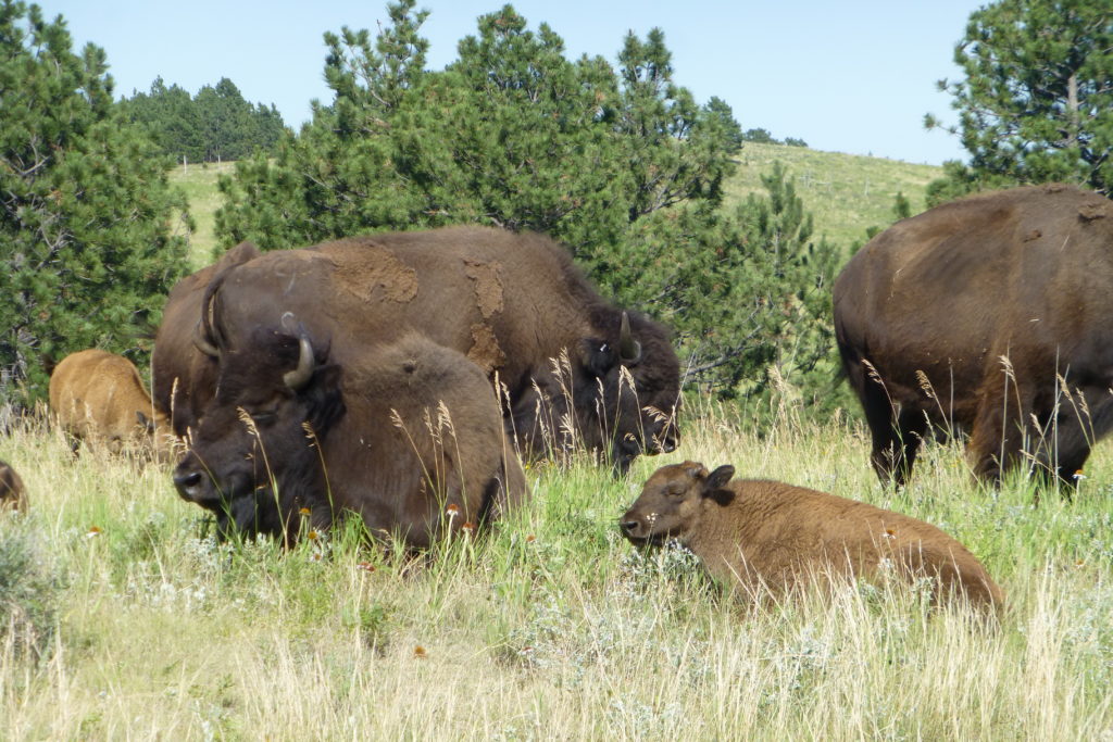
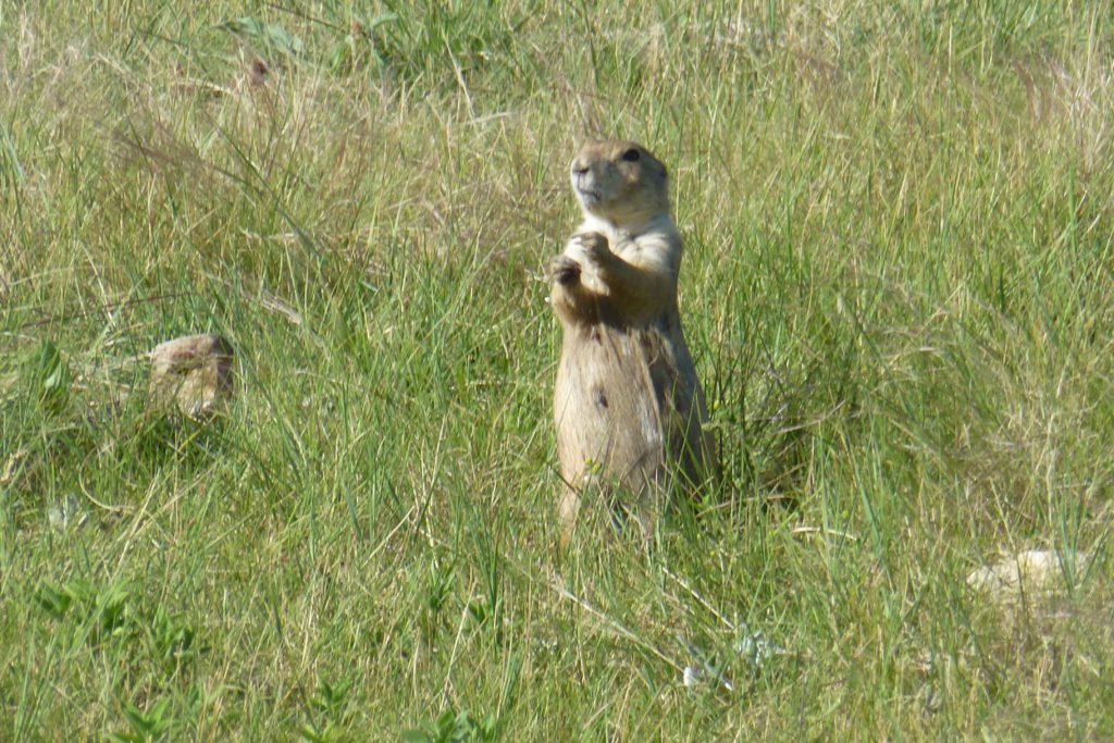
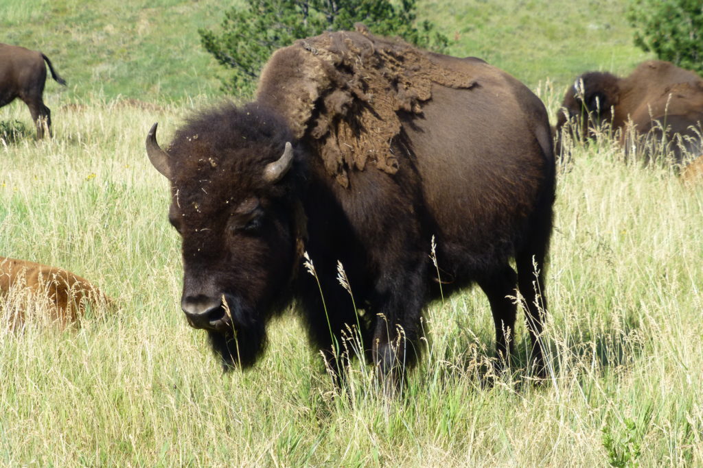
After driving the main road through Custer State Park, we also drove the game watching loop in the outer sections (finally, no crowds!). Despite the heat, we saw plenty of animals: buffalo, pronghorns, a deer or two hanging out in a rare shady spot, prairie dogs, a turkey I nearly ran over, and a mountain bluebird. You’ve probably figured out by now that we both love animals, so this drive was really a treat!
With a crappy forecast and so-so excitement about the climbing at Rushmore, we decided to head out the next day. To be fair, I think we were more tired than we realized after a few weeks of going hard. It takes about 3 days to adjust to new climbing areas. We didn’t give Rushmore a fair chance, but neither of us are keen to visit again. Soon, we found ourselves back in Wyoming (big surprise…I think it was our 6th trip through the state since last June!) still without a plan. We kept discussing the same three options but couldn’t figure out which was best, so we chose…none of them.
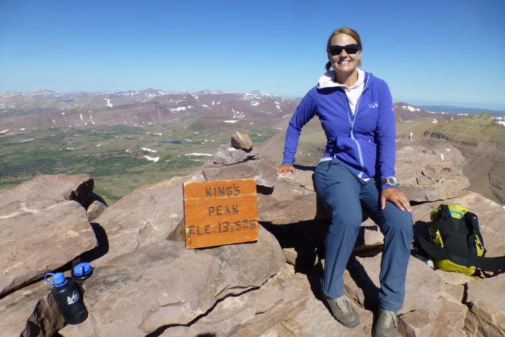
King’s Peak (13, 528 ft.), the highest point in Utah, is only a few miles past Wyoming’s border. We’d thought about checking it out a few months ago, but there was still too much snow. Utahns spoke very highly of the Uinta Mountains, though, and King’s had sort of been on our radar as a maybe all summer. We knew we were somewhat unlikely to ever go there after this trip, and our other choices all had major drawbacks so early in the summer. So, we literally did a U-turn halfway through Wyoming and headed back to Utah!
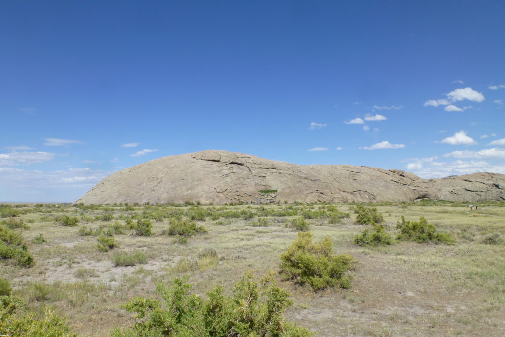
The drive wasn’t super exciting, but we did pass Independence Rock—a vital point on the Oregon Trail. Settlers needed to see it by the 4th of July if they were to make it to Oregon without getting stuck in the winter. The Oregon Trail has always fascinated Sarah, so it’s cool that we have seen so much of it along our travels this year. We camped in a gorgeous spot, too—Flaming Gorge, Wyoming, lights up in a red glow at sunset (No Foto!). I didn’t realize it until looking at some pictures my father-in-law took that night in Illinois, but the big bright shooting star I saw that night was actually the Neowise Comet; what a treat to see it light up the darkness in the big open sky (I’m pretty sure I’ve never peed by comet light before)!
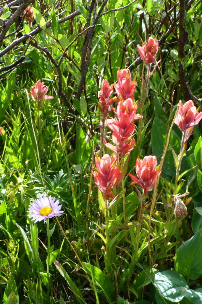
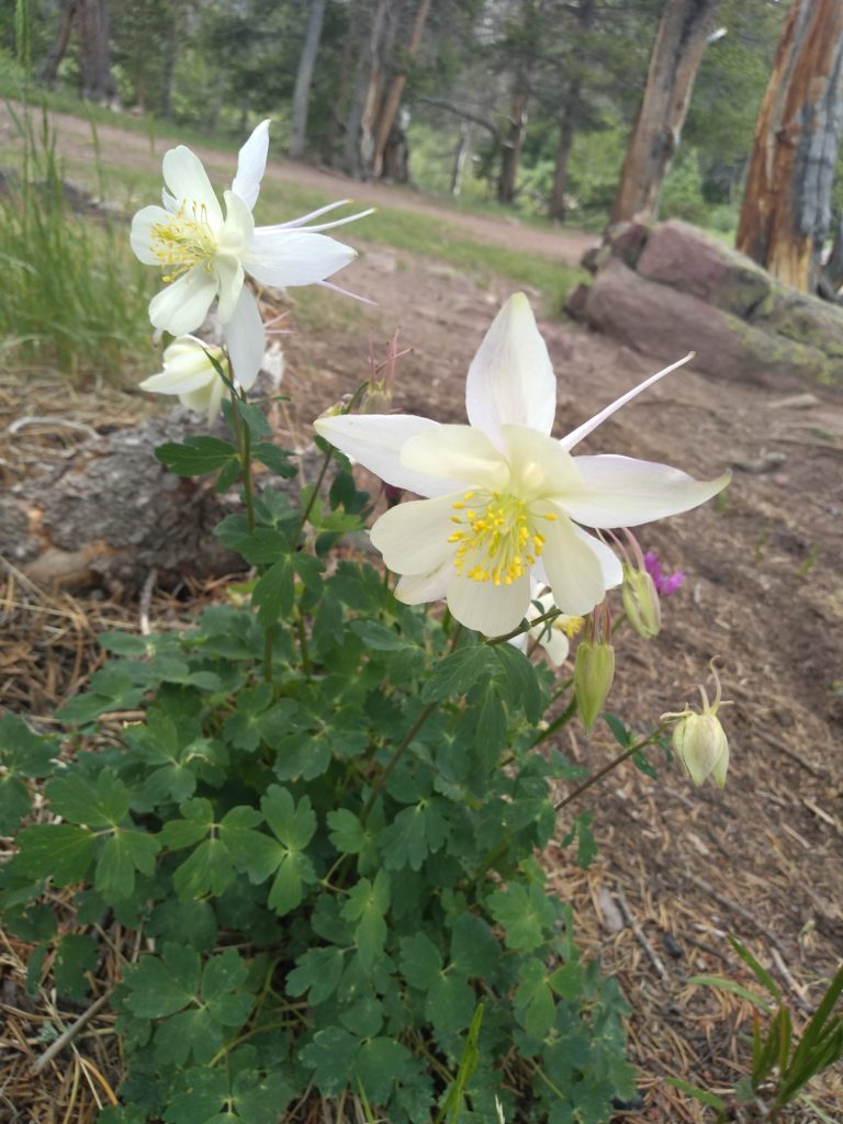
King’s Peak is really in the middle of nowhere. We drove 1.5 hours on mostly gravel roads through cattle country before hitting the trailhead, being found by killer attack mosquitoes, and dousing ourselves in DEET. The pack-in was around 8 miles of mostly flat trail. Luckily, there was shade and cloud cover most of the day because we hadn’t been able to get an early start. The first 5 miles are a little boring; they reminded me very much of the approach to Middle Sister from Pole Creek…flat, hot, and forested. There were some pretty flowers, especially the columbine.

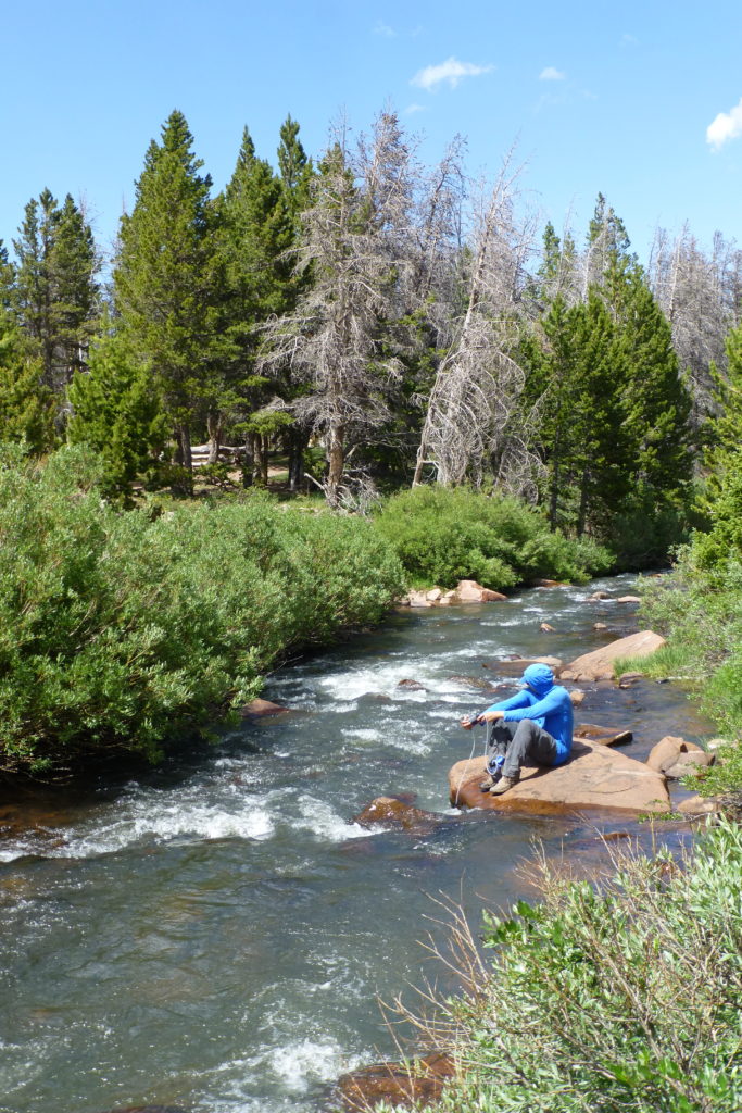
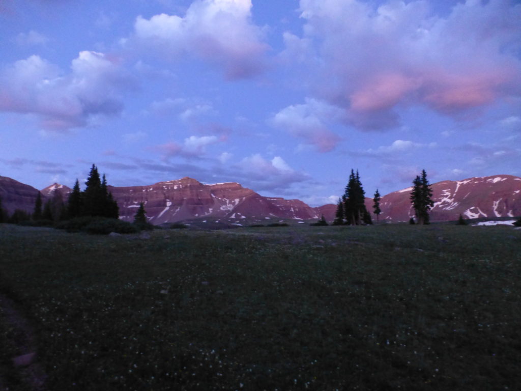
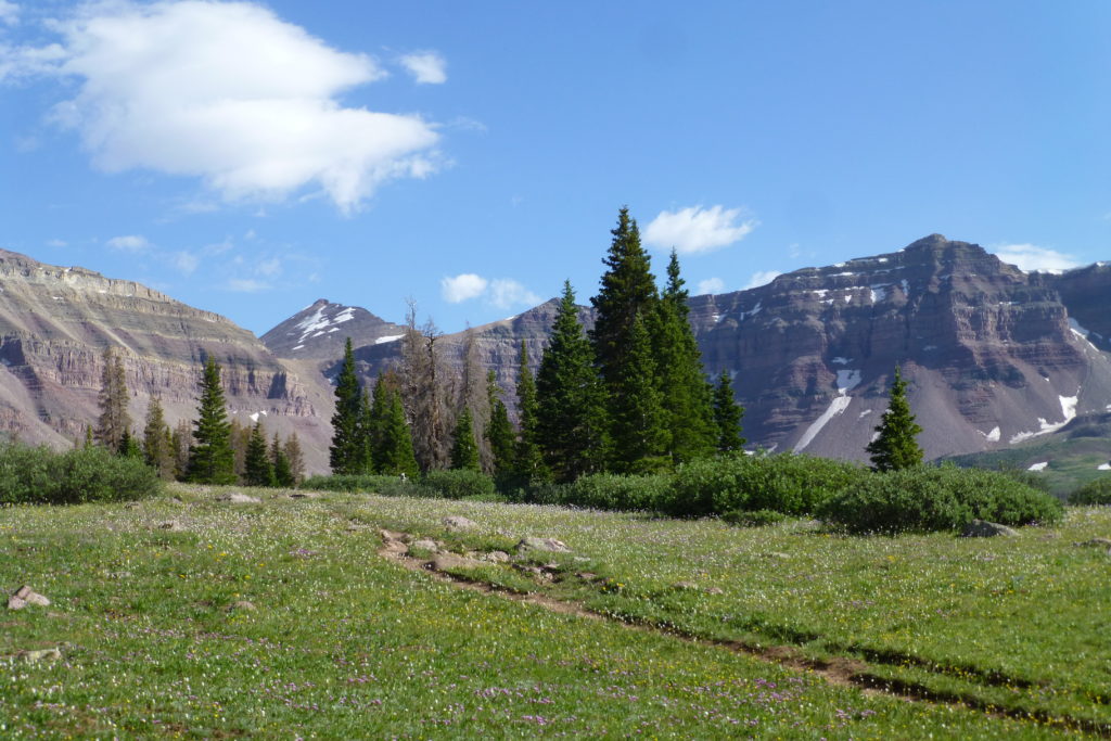
Once the trail opens up, though, it’s spectacular! After crossing the river, we were suddenly surrounded by gorgeous flowery meadows and pristine mountain peaks! It was supposed to be windy that night, so we camped under some trees near Dollar Lake instead of out in the open meadow. Several other lakes dotted the basin, and it wasn’t long before we saw deer and some woodpeckers. We had plenty of mosquitoes visit, as well, which gave us a chance to try out the bug jackets we’d been carrying around in the van all year.


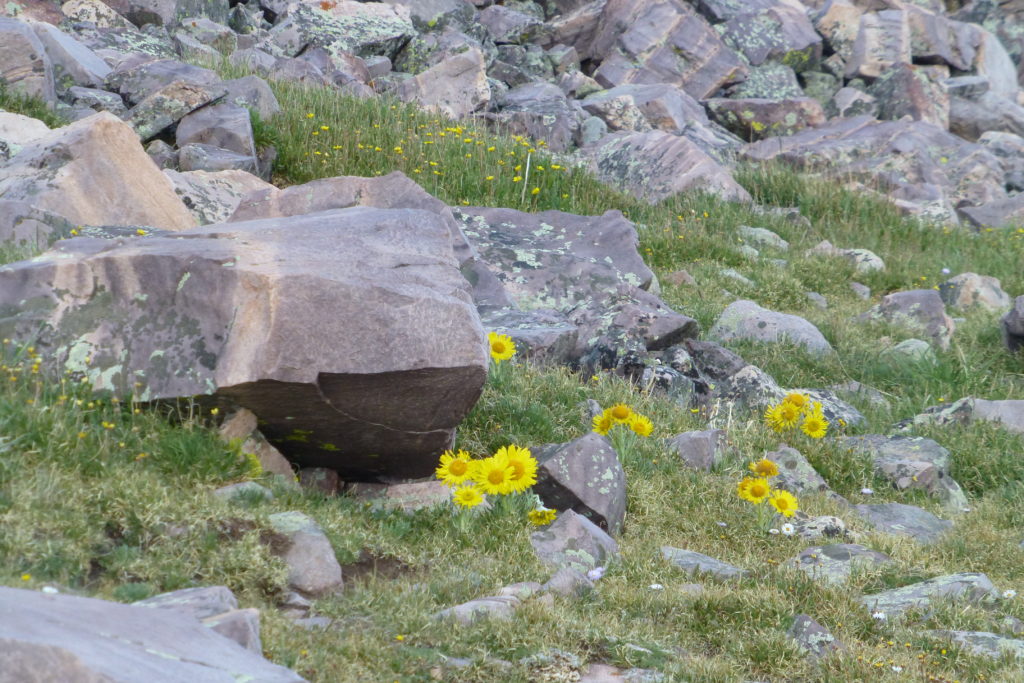
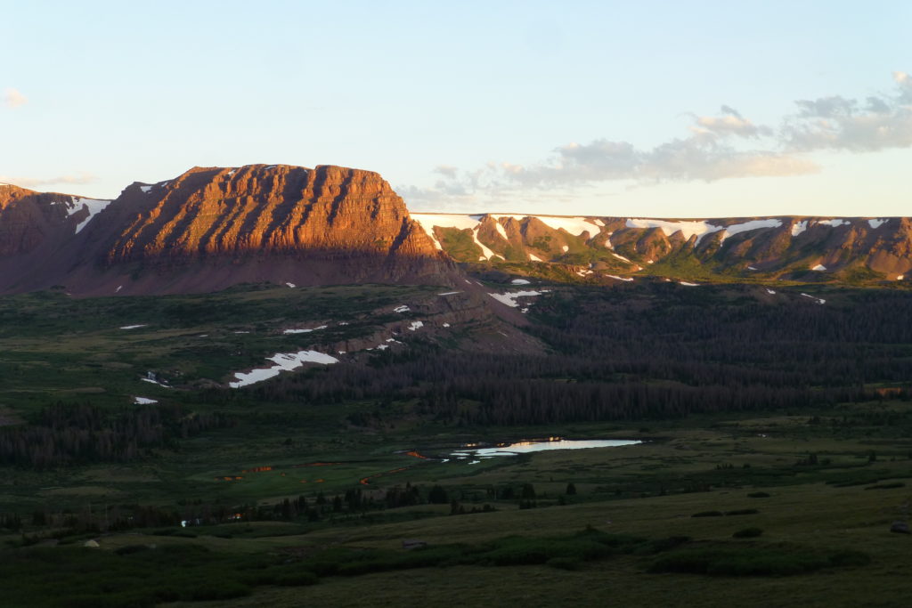
It was surprisingly cold that night, and I remember feeling disheartened to see that my phone read 1:25 when I woke up shivering, only to find I had 3 more hours before the alarm. The morning approach was just about perfect, however. Not long after setting out, the pink morning alpine glow sat over the mountains and reflected off the clear tarns throughout the basin. We kept our eye out for bears and moose but had to be satisfied with marmots and pikas instead. We could see Gunsight Notch, our first waypoint, for nearly 2 miles before we got there, so it was good we were surrounded with beauty.
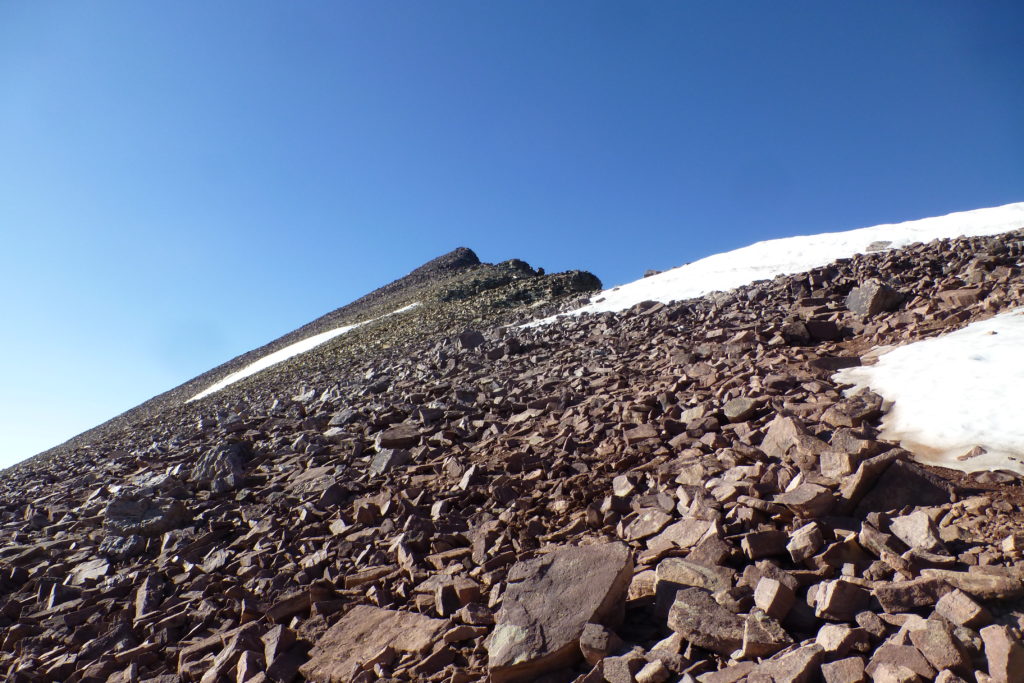
A shortcut at the notch is the key to climbing King’s Peak without hating life; it shaves nearly 2 miles off the round trip, as well as a couple hundred feet of elevation gain. It has a reputation for being hard to find, but we happily discovered 3 large cairns marking the way. We had to keep our eyes out for the cairns farther across the shortcut, but we could make out the trail up the actual peak from clear across Daisy Basin before we descended down and boulder-hopped across the basin to rejoin the trail.

A short climb up to the pass got our hearts going, but we felt pretty good. All that time at elevation this year had paid off, and we even felt like having a decent snack before continuing above 12,500 ft. On the downside, the water we’d filtered the previous night tasted like a mud pie. We only had another 1,000 ft. to climb, but it was quite a bit farther than we expected. Two false summits and ¾ of a mile’s worth of boulder hopping stood between us and the top.
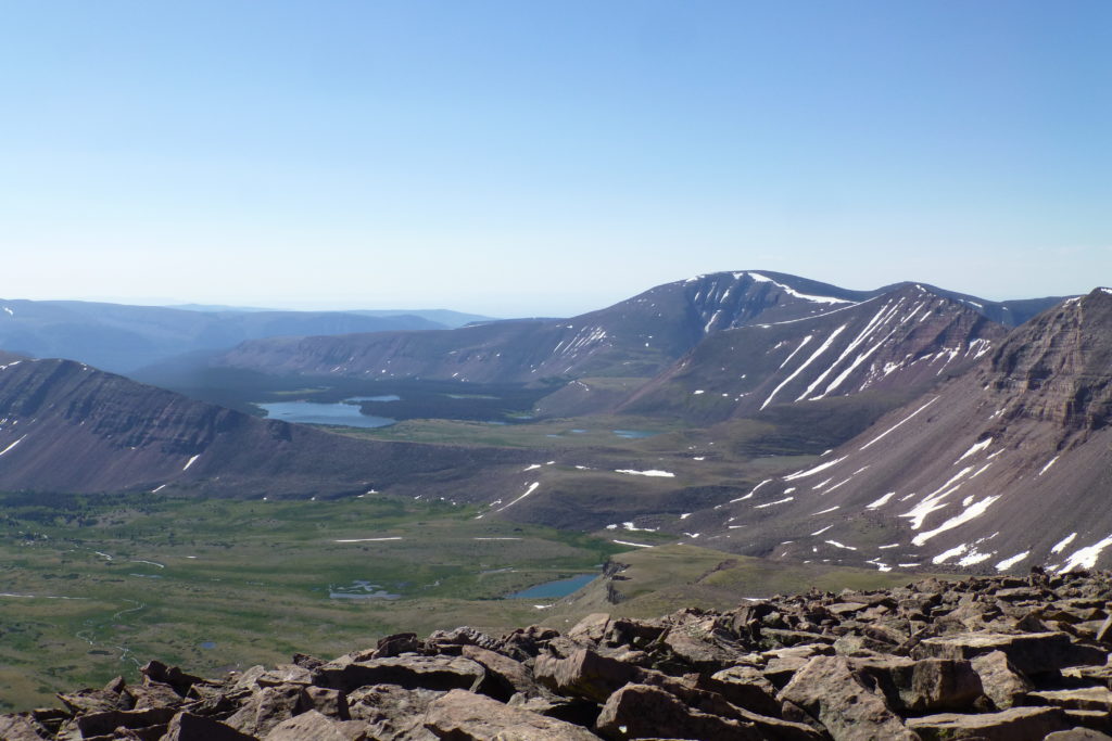
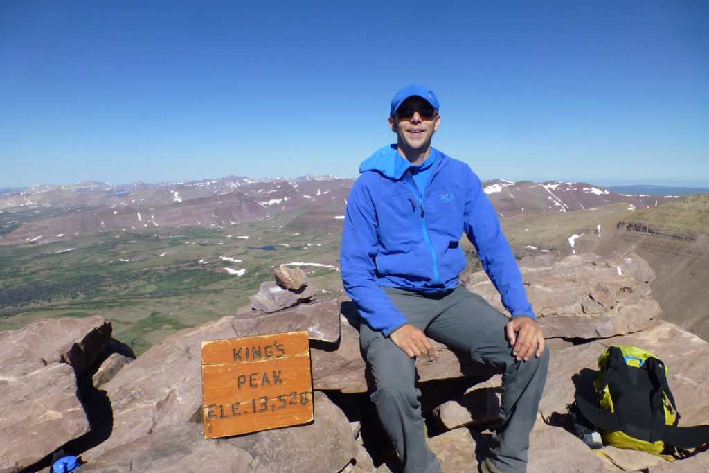
It was such a gorgeous morning, though, that we barely even noticed the tired muscles starting to grumble to our brains. We reached the summit around mid-morning, just over 4 hours after leaving camp (on the fast side of the average time). Neither of us had tried to burn up the trail, so it was nice to summit with a decent time while feeling strong. The 6-peak panorama around us was a feast for our eyes! If only we’d had more time, we could have traversed the entire range! We’d beaten the forecasted winds up to the summit, so there was ample time to enjoy the view and celebrate our 8th state highpoint with a Snickers bar and more mud pie-infused water.


Normally, we’d take 3 days to do a 28-mile climb, but Sarah actually had an important phone call we had to be back for the next day. So, we popped a couple of Ibuprofen and made tracks back down to our camp. Sarah found a better way across the basin, and we got a great reminder that hikes in Utah are often just as rewarding on the way out as on the way in. We laid down for about 10 minutes back at the tent, threw our gear together, and gritted our teeth for 8 miles back to the Craggin’ Wagon.
Sometimes, it doesn’t take much to get you out of your equilibrium, but nothing like a little mountain therapy brings it right back. King’s Peak was not a technical challenge, but it was absolutely stunning! Neither of us had ever been in a place quite like the Uintas. It almost fell off our radar, but luckily we just really didn’t have a plan. We might have no need to rush back to Rushmore, but it was good to live like kings for a couple of days.
